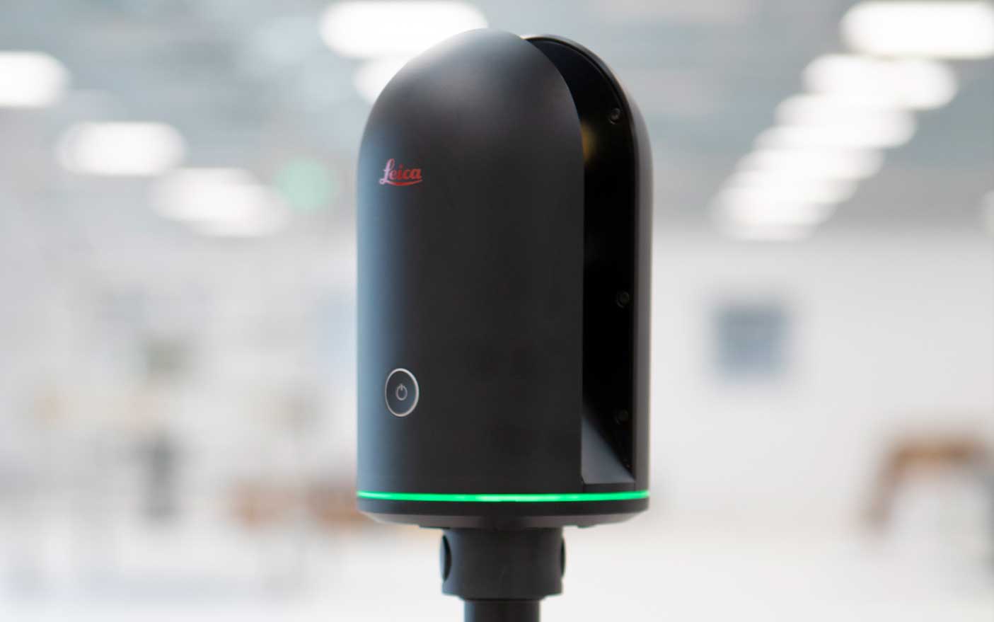
As part of our workflow, we routinely scan buildings and spaces; this lets us create an accurate and detailed model of an existing building.
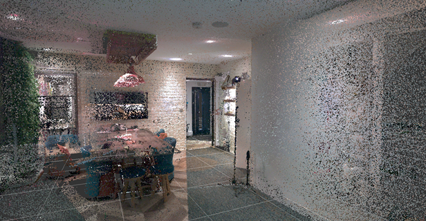
So what is a point cloud scan and how is it useful? A point cloud scanner sends laser beams that return to the scanner when they hit a surface; the resulting scan comprises millions of points that map out the surfaces. You can see an example of a scan below.
Why do we point cloud scan our projects?
At first glance, the point cloud scanner is an expensive and time-consuming way to survey a building. The scanners themselves are pricey, even for an entry-level scanner. With some scanners, you may need a phone or tablet and software to collate the scans. Scanning a large building, inside and outside, can take a whole day, depending on your scanner type. So why do we do it?
Traditionally, surveys were done with a tape measure or laser measure. This way of surveying can be done relatively quickly. Still, it is susceptible to human error. No matter how thorough you are, you’ll inevitably find another measurement that you need but didn’t take when you get back to the office. With the point cloud scan, we have a complete scan of the building at hand whenever we need to take a measurement. Our scanner also takes 360 photography, so you can go back and visually check the space. Ultimately, it means we only need to go to the site once, saving time, money and reducing carbon emissions with travel. The other benefit of the point cloud scan is how accurate it is. Our scanner has a ranging accuracy of 4mm over 10m or 7mm over 20m!
Is there a better way?
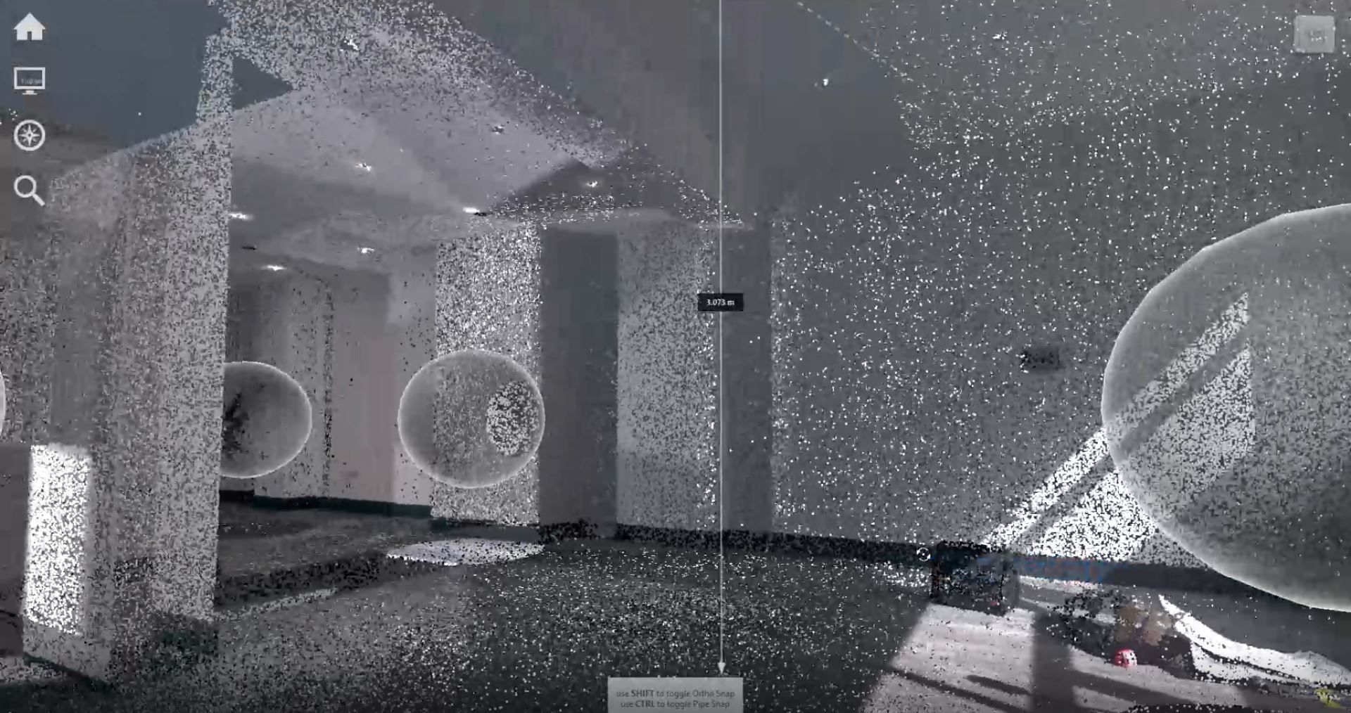
With the latest iPhone and iPad models, the cameras now have lidar, meaning you can scan using one of these devices and an app. We were keen to investigate this and see if this could be a quicker and more cost-effective way of scanning.
A team member scanned our VR suite using the point cloud scanner, using our standard methodology. We then carried out a scan using an iPad and a free mobile scanning app, following the instructions provided by the app. This involved holding the iPad and moving around the room as it scanned. We carried out a further scan using the same mobile scanning app but used a tripod for a more reliable comparison. Spot measurements were also taken using a Disto laser measure of the room’s height, length, and width.
Results
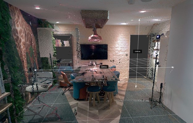
Once all the scans were collated, we could compare them visually and by taking the exact measurements in each scan. The results are shown below. The point cloud scanner and laser measure were within a few mm of each other. The mobile scanning app using a tripod was slightly out, but the freehand scan was significantly different to all other scans and measurements.
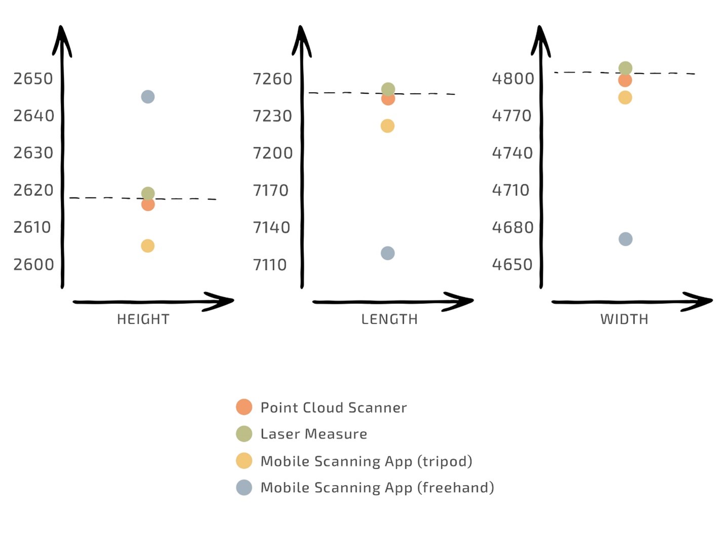
The mobile scanning app is undoubtedly far quicker and cheaper. However, our priority is to create accurate and detailed models. This means the point cloud scanner is still the winner and worth the investment in time and money. Technology is constantly evolving and improving, and we will continue to test scanning apps to ensure that we always offer our clients the most cost-effective solutions for surveying while not compromising on quality.
Want to understand how we use the scan to create a digital twin? Read our Scan to BIM blog to find out more.
If you have any questions or need any assistance with this subject, please get in touch.

